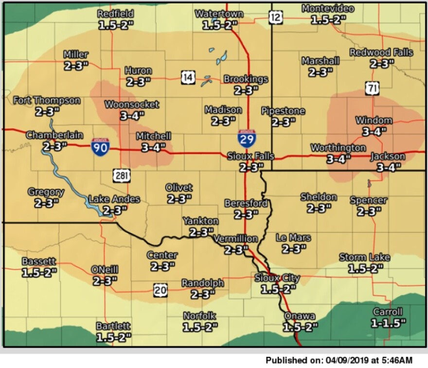
Another major storm is headed towards the Midwest, and may impact northwestern Iowa Wednesday afternoon and evening. Known as a “bomb cyclone,” or storm that rapidly intensifies, the system will bring rain, snow and winds to the area.
This winter storm is expected to deliver the most snow to Nebraska, South Dakota and Minnesota. The National Weather Service predicts the northwestern part of Iowa will stay warm enough to miss out on some of the heavier snow. However, blowing snow may still cause travel frustrations.
“There could be anywhere from two to five inches of snow depending on how things line up,” National Weather Service Sioux Falls meteorologist Lance VandenBoogart said. “What will be accompanying that snow is wind, so that could still make it difficult to travel.”
Before the snow starts, two to three inches of rain is expected. With this additional water, there may be some rise in river levels.
But VandenBoogart says much of the snow that was already on the ground and melting is gone, so flooding should not be as severe or widespread as last month’s.

