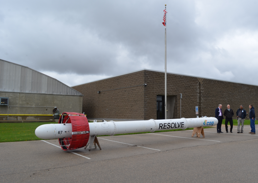
A helicopter towing a large sensor will fly low over Cedar Rapids this week as part of the U.S. Geological Survey’s effort to map the city’s groundwater supply.
The City of Cedar Rapids can use that information to plan for changes in the Cedar River aquifer and make more informed decisions about water resource development.
Cedar Rapids Utilities Engineering Manager Bruce Jacobs says declining water levels in wells during the 2012 drought led to this effort to better understand the aquifer.
"That surprised us a little bit because there was still plenty of water running down the river, but the sand and gravel formations underneath the river were going dry on us," Jacobs says. "And the old model didn’t predict that."
Jacobs adds the city will use the new model to evaluate where future wells could go and to understand how the existing wells are functioning.
USGS hydrologist Greg Delzer says the study will help the city assess the long-term sustainability of its water supply.
"That helps communities expand," says Delzer. "It helps bring in businesses--if they say 'I need X amount of water, can we have it, and if so, will it be reliable?'—that’s one of the biggest reasons this technology helps cities like the city of Cedar Rapids."
Delzer says data from the airborne sensor will help the city make well-informed water management decisions for many years to come.


