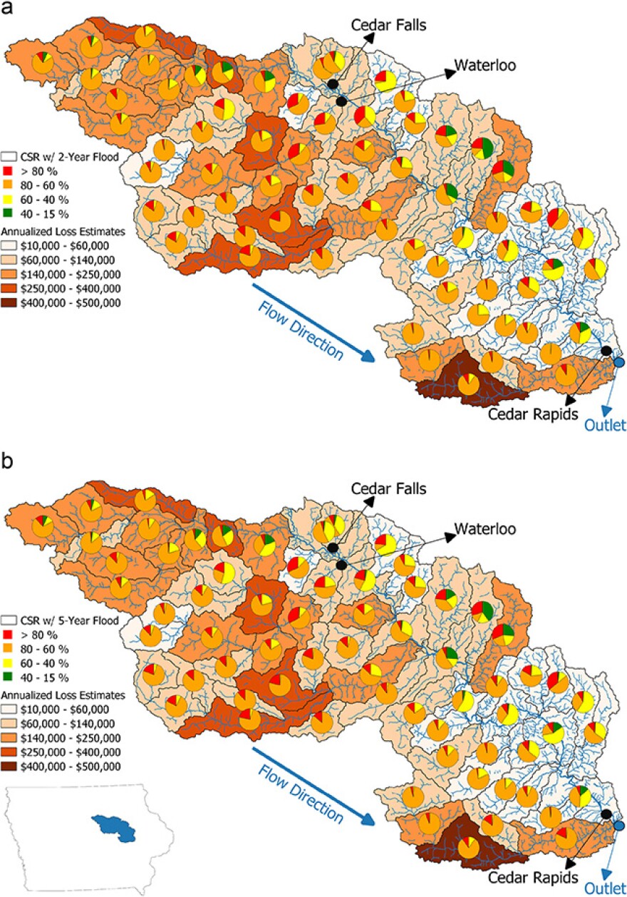
University of Iowa researchers have created a map to show which of Iowa’s farmlands are most at risk for floods. Their findings show nearly 450,000 of the state’s crop-producing acres are highly vulnerable to flooding.
Four wetlands across the state have the highest risk: Middle Cedar in eastern Iowa, North Raccoon and South Skunk in central Iowa and West Nishnabotna in southwest Iowa. These regions have a 50 percent chance of flooding each year, according to the research from UI’s IIHR Hydroscience and Engineering department.
“Floods are happening more frequently than ever, as we can easily see from trends,” said Enes Yildirim, researcher and co-author of the study. “So I thought it would be good to reflect the existing risk, and that would be helpful for further applications such as mitigation.”
Iowa sees around $230 million in crop losses each year due to flooding, according to the research conducted by Yildirim and his co-author Ibrahim Demir.

The research evaluates both the flood risk of areas and their crop productivity, using data from the Iowa Flood Center, the Federal Emergency Management Agency (FEMA) and the U.S. Department of Agriculture. Yildirim said understanding how fertile the land is can help policymakers decide on what mitigation strategies to take.
Some flood-prone lands, like the West Nishnabotna region, are highly fertile and valuable to the food production industry. Others, like the Middle Cedar wetlands, have lower rates of farm productibility. Yildirim recommends taking these factors into account when deciding whether to build more flood protection measures, like levees, or to consider changing the use of the land.
“[Lands with low productivity] could be converted into wetlands,” he said. “And that wetland prevents flood peaks and absorbs the water. And then you will see less extreme flooding events for that area.”
Iowa has seen 29 flood-related disaster declarations since 1953, according to FEMA. In the last 15 years, major or historic flooding has occurred four times across the state.
Yildirim said major flooding events are likely to increase in the coming years. Past studies by the university have shown that the rise in greenhouse gases is contributing to greater flood disasters in the Midwest.


